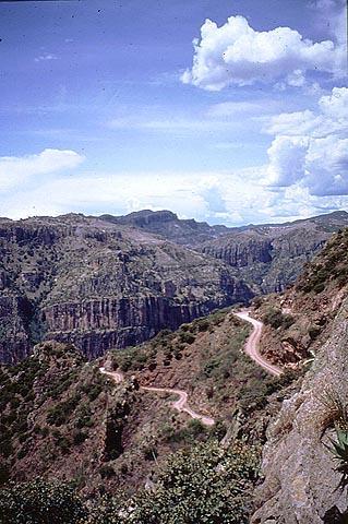
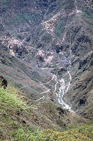
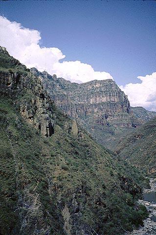
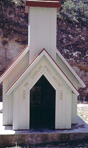
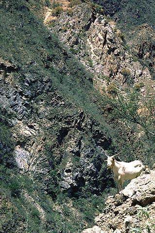


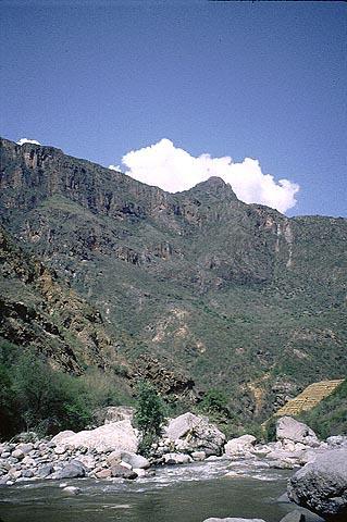
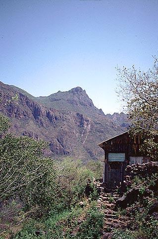

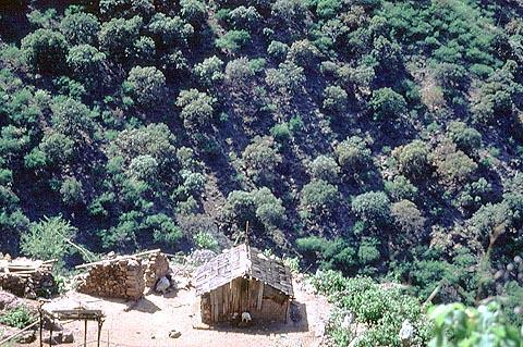
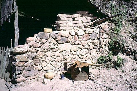
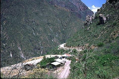


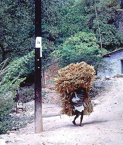
Chihuahua is a land of magnificent scenery — mountains, canyons, deserts and fresh, clean, clear air. Its spectacular canyons are the biggest in North America. Within the canyons are beautiful waterfalls, one of which is the highest in Mexico. Chihuahua also contains fertile valleys — orchards and crop fields that were coaxed from the desert by the persistence of hardworking, warm, and loyal people.
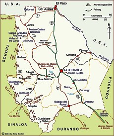
The state of Chihuahua is located in the north of Mexico, on the Northwest Central Plain. It is bordered to the north and northeast by the United States, to the west and south by the state of Sonora, and to the southeast by the state of Sinaloa. Chihuahua covers a surface area of 244,938 square kilometers, making it the largest state in Mexico. Its climate is dry to semi-arid, though there is regular rainfall and occasional extremes in temperature. The average annual temperature is 68º F.
About the State of Chihuahua
Exploring the State of Chihuahua
- Chihuahua: On the Trail of Pancho Villa, Mormons, Mennonites, Waterfalls and Turkeys . . .
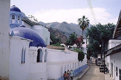
- Chihuahua City and South
- Exploring the Copper Canyon
- Exploring the Chihuahuan Desert
- Mexico’s Copper Canyon: Train Ride to Heaven!
- Copper Canyon: Treasure of the Sierra Madres
- Valley of the Caves
- Among the Artists and the Cowboys in Mata Ortiz, Chihuahua (Index)
- Mata Ortiz – a Village of Potters
- The Zone of Silence of Northern Mexico: scientific marvel or just fiction?
- Los Desiertos Magnéticos del Mundo
- Giant Crystals in the Naica Hills
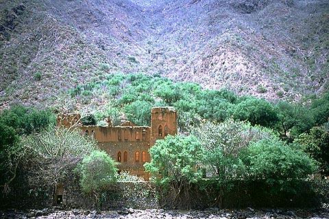
- Paquime: Casas Grandes, Chihuahua
© Tony Burton, 2000
Chihuahua Culture, Art and History
- A quest for hidden treasure in Chihuahua
- The vibrant voyages of H. Ramirez
- Painting poetry: Veronica Leiton
- Pancho Villa — A German Agent?
The Cuisine of Chihuahua
- Immigrant cooking in Mexico: The Mennonite kitchens of Chihuahua
- The cuisines of Northern Mexico: La cocina norteña
- Chihuahua-style roast turkey: Pavo al horno estilo Chihuahua
- Cheese soup: Crema de queso
- Sweet and sour tomatillo conserve: Tomates verdes encurtidos
- Chihuahua Mennonite meatball soup: Caldo de albondigas
- Grilled turkey breast: Pechuga de pavo a las brasas
- Russian-Mexican beef soup: Caldo ruso de res
- Grilled Chihuahua style leg of lamb: Pierna de cordero a la parilla
© Geri Anderson, 2001
Books about Chihuahua
- Copper Canyon, Chihuahua, Mexico by Richard D. Fisher
- Juan Quezada as told to Shelley Dale by Juan Quezada
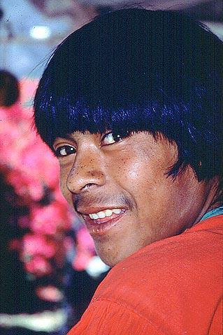
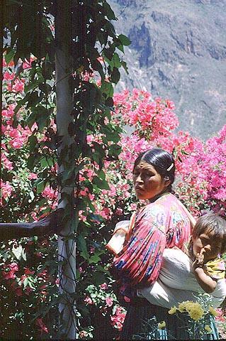
People of Chihuahua
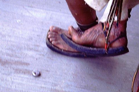
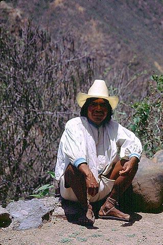
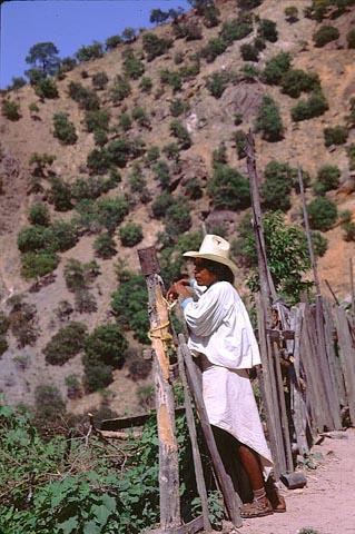
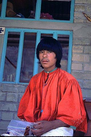
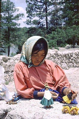
- The Tarahumara: an endangered species
- The indigenous peoples of Chihuahua: a story of war and assimilation
- The Mennonites: a Dutch heritage in Mexico
- Among the Artists and Cowboys in Mata Ortiz: a series
- My Chihuahua cousins
Picture Galleries: Original Photographs of the State of Chihuahua
- Branding calves with the cowboys of Mata Ortiz, Chihuahua
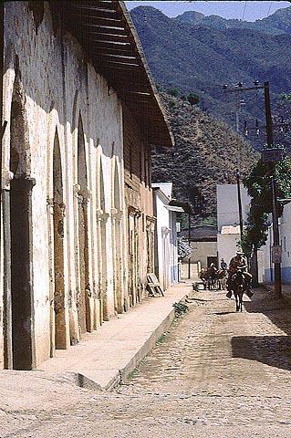
- Paquime and Hidalgo del Parral
- My Chihuahua cousins
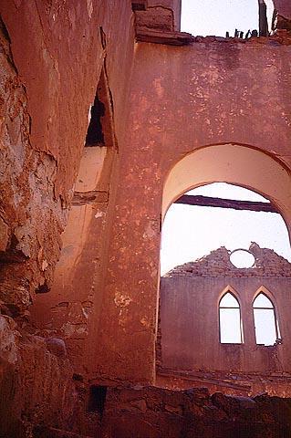
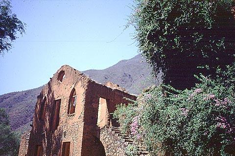
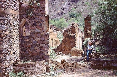
- Art treasure hidden in a Chihuahua hacienda
- On the trail of lost art works in Chihuahua