Map of Zacatecas and Aguascalientes states: Zacatecas, Jerez, Fresnillo, Aguascalientes, Mexico
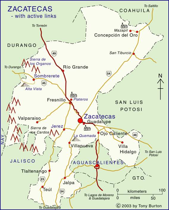
The state of Zacatecas is in the region of North Mexico, along with the states of Chihuahua, Coahuila, Nuevo León, San Luis Potosí, Durango and Aguascalientes. The state has an area of 75,200 square kilometers and a population of 1.7 million (2017). The state capital is the beautiful colonial city of Zacatecas, noted for its superb architecture and world-class museums.
Other important cities include Jerez (close to the archeological site of La Quemada), Concepción del Oro (in the rich gold- and silver-mining area of northern Zacateacas) and Sombrerete (in the direction of Durango).
Published or Updated on January 1, 2008 by Tony Burton