Golly, what a gully!
In most places, a straight line is the shortest distance between two points, but not in many parts of Jalisco’s Primavera Forest, located at the western edge of Guadalajara, Mexico’s second-biggest city. In this woods, a person trying to take a shortcut to some spot only 100 meters away may suddenly find himself or herself standing on the edge of a sheer cliff 30 meters high. The bottom can be seen straight down below, but it’s only ten meters wide and then another parallel cliff rises up on the other side. In some cases, you might be able to walk around this fissure-like canyon — if it’s not too long — and be on your way. Otherwise, clambering down to the bottom and back up the other side could take many, many hours, if not days.
So how can you go for a hike in El Bosque without becoming frustrated (or a missing person)?
The solution is to take advantage of the canyons themselves, many of which offer easy-walking routes to interesting sites or are, in themselves, so fascinating that it really doesn’t matter where they go.
A fine example of a canyon that stands on its own merits is Arroyo El Carbón, which starts at the edge of La Venta del Astillero (a small town ten kilometers west of Guadalajara) and heads southeast for about two kilometers, straight toward the heart of the forest. As for the arroyo’s name, “carbón” can mean coal, carbon or charcoal. There’s certainly no coal in the volcanic tuffs of this area, but this long arroyo may have given charcoal-makers living in La Venta easy access to fallen trees — of which we found plenty a kilometer and a half from the entrance.
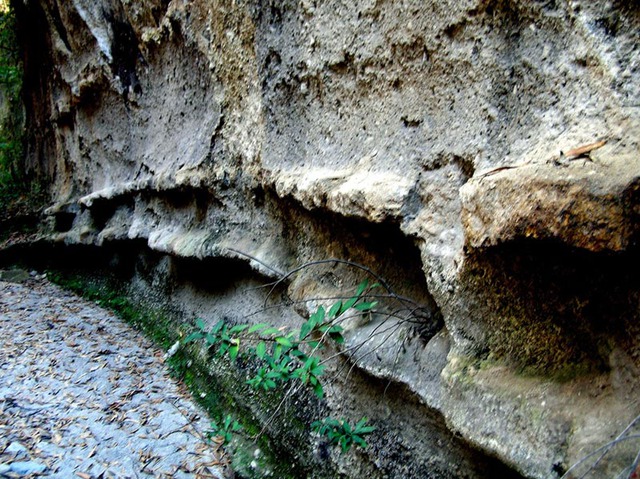
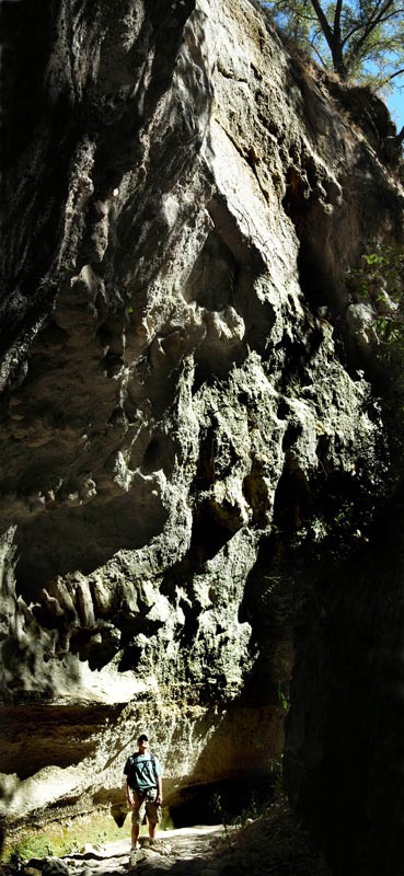
This arroyo is much too narrow to be called a canyon. In a few places, it’s actually less than a meter wide, so I guess in English we would call it a gully or gulch, even though its walls are sometimes 50 meters high.
The most striking features I noticed in my first exploration of Arroyo El Carbón were long, parallel rows of natural shelves lining the smooth walls in many places. “This ought to be called Pantry Gulch,” I said to myself, recalling the pantry in the perpetually cold basement of my childhood home, its shelves always laden with canned tomatoes, peaches, plums and pickles in mason jars, the product of hours of hard work by all the ladies of the neighborhood — a dramatic cooperative effort involving clouds of steam, powerful smells and incessant gossip, all of which, nowadays, is replaced by a humdrum visit to Walmart.
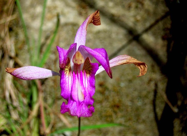
Besides shelves, the gully’s walls are also decorated with brightly colored moss and plenty of wildflowers, including some very nice little pine-pink orchids (Bletia reflexa).
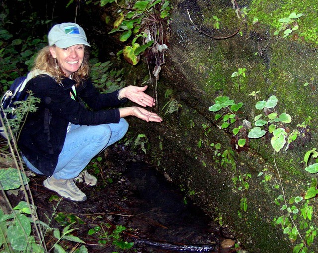
One kilometer from the entrance, there’s a small spring and pool of cool water which no doubt account for numerous paw prints nearby on the sandy floor, including many that look suspiciously like those of the Primavera Forest‘s celebrated pumas.
Not far beyond the spring, it is necessary to climb up small walls to continue along ever higher levels of the arroyo, sometimes requiring you to scramble up wobbly, leaning tree branches placed there by past explorers. You might also come upon mounds of jal (volcanic sand) and rocks, the results of recent collapses of the gully’s soft walls.
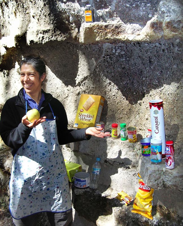
Because of all this, I suggest that the Puma’s Pool would be a wise place for most hikers (especially families) to enjoy a sandwich and then to turn around and head back out. This would make for a round-trip walk of two kilometers while allowing you to experience to the fullest the marvels of beautiful Arroyo el Carbón.
How to get to Arroyo el Carbon
Head west out of Guadalajara on Avenida Vallarta. Ten kilometers past the Periférico (Ring Road), you’ll be in La Venta del Astillero. Keep your eyes open for the first pedestrian overpass. You need to turn left on Calle Allende, which is the first street after the overpass, but to do this, you must drive on forward a bit, make a U-turn and come back.
Take Allende south until it ends. Make a left and then a right onto Avenida de los Pinos.
Follow this 190 meters south until you come to a high-tension-wire tower. Just before the tower, turn left onto a dirt road which will take you 280 meters south to the edge of a deep barranca. Park somewhere around here (not too close to the edge of the barranca, please!) and continue walking down the same road, which is now paved with cobblestones, to the dry river bed below.
From here walk 130 meters southwest and you’ll see the entrance (N20 43.089 W103 32.470) to narrow Arroyo El Carbón, heading southeast. Driving time from Guadalajara to the parking spot: about 25 minutes.