

Michoacán – the soul of Mexico (© 2002 jennifer j. rose)
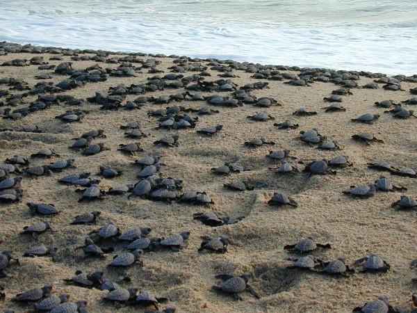
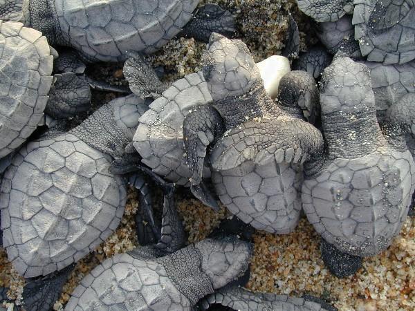
The state of Michoacán is an uncommon place. From the sugar cane fields of Los Reyes, the avocados, coffee, and macadamia nuts of Uruapan, the melon fields of Apatzingán, the rice fields of Lombardia and Nueva Italia, the pears of Ucareo, the pescado blanco of Patzcuaro, to the ruggedly pristine Pacific coast, the endless pine-crested peaks of Mil Cumbres, the mines and butterflies of Angangueo and the former mining town of Tlalpujahua.
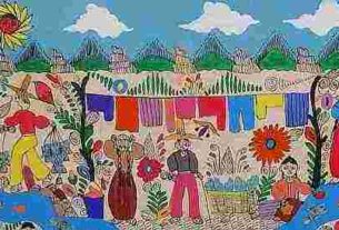
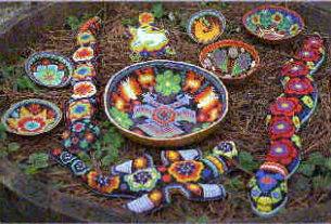
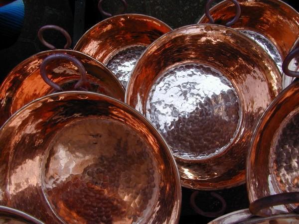
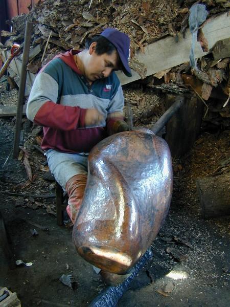
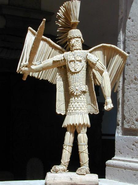
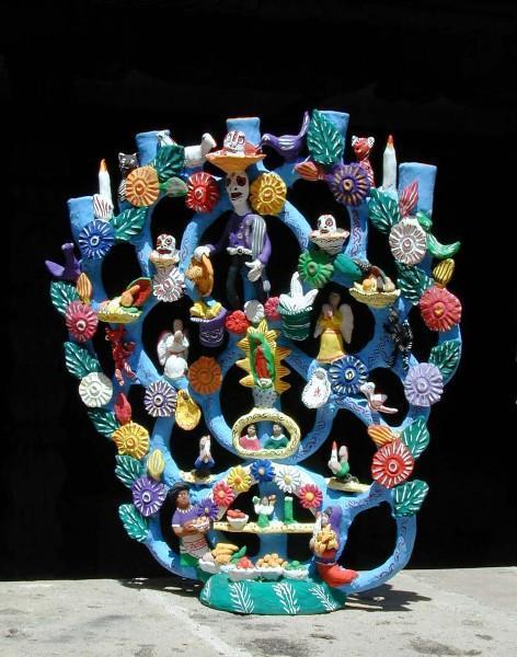
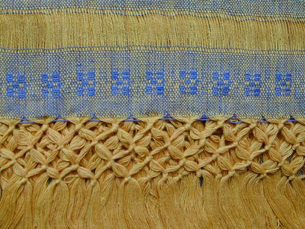
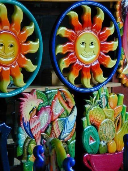
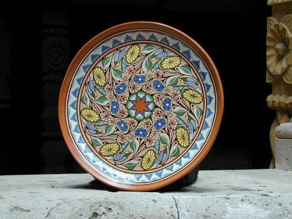
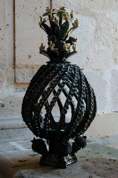
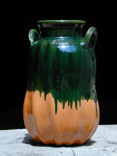
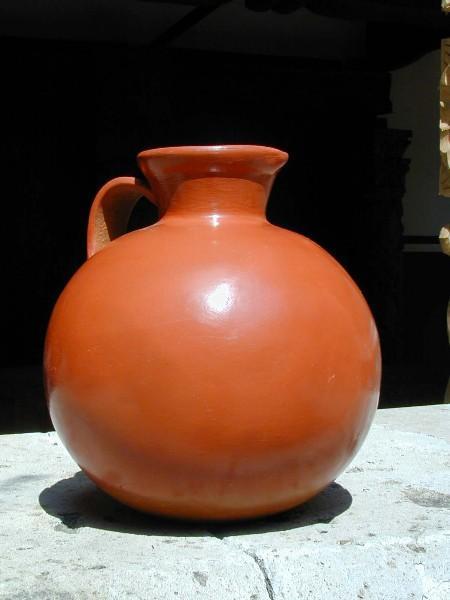
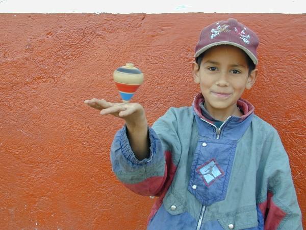
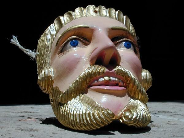
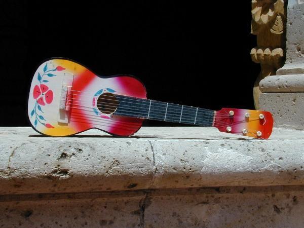
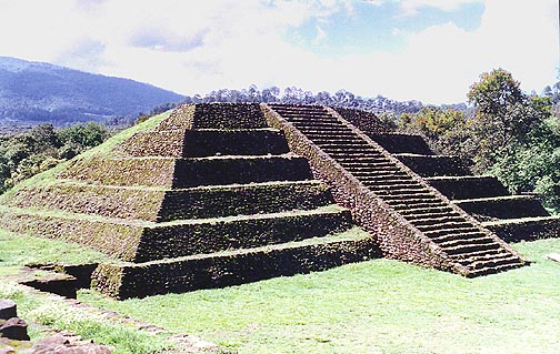
Michoacán is as varied a state as you’ll find anywhere in Mexico. Michoacán is craft-central for all kinds of handicrafts and ground zero for Noche de Muertos. The guitars of Paracho, the lace of Aranza, the deshilado of San Felipe de los Herreros, the masks of Tocuaro, the devils of Ocumicho, and the pottery of Capula… And don’t miss the Meseta Purépecha, the archeological wonders of Tingambato, Tzintzuntzan and Ihuatzio or the copper workers of Santa Clara de Cobre. Morelia, the most Spanish of all Mexican cities, warrants a book all its own.
This is the state which produced one of Mexico’s most revered leaders – Lázaro Cárdenas. This is the state which has sent off the second-highest number of its own to work across foreign borders. This is the state in which the oldest university in the American continent was founded back in 1540.
Michoacán is craft and industry. Michoacán is history and leadership. Michoacán is a kaleidoscope of natural beauty. Michoacán is art and music, and Michoacán is education. Michoacán is the guardian of tradition, and the face of tomorrow. This is the state whose pride knows no bounds, and this is the state everyone loves.
The State:
- Link to interactive map of Michoacán
- Introduction to Michoacán
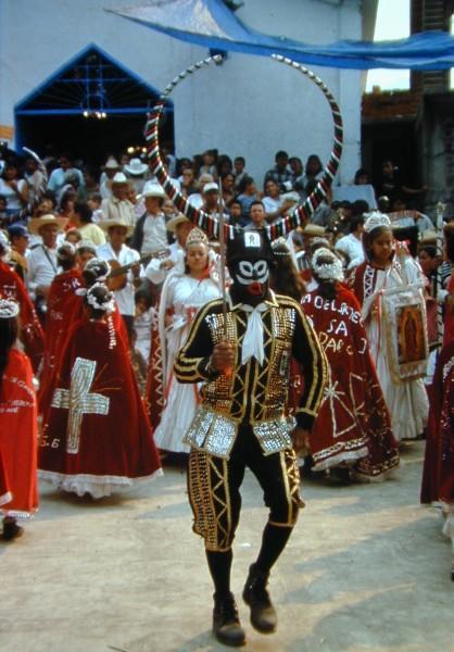
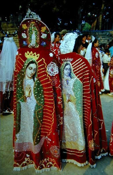
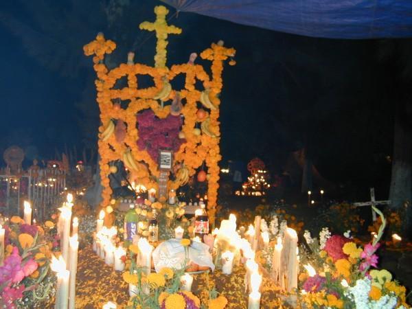
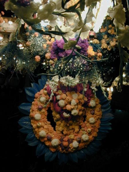
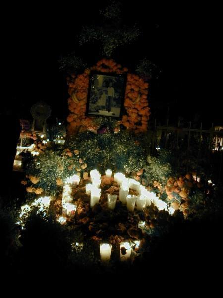
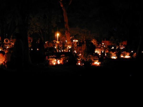
- Michoacan:Celebrating the Days of the Dead
- Michoacan Cuisine
- The Meseta Purepecha – Exploring Michoacán
- Alternative Tourism in Michoacán
General
- “The Ghost of Coalcomán”
- En Español
- Rural Education: Making an Impact Through Recognizing the Importance
- Tarasco Culture and Empire
Cities & Towns
Morelia
- Morelia
– Cultural World Heritage - Finding Joy in Daily Life in Morelia
- Peace & Beauty – Roaming the Hills Around Morelia
- Morelia – Land of Adventures for Children
- Why are there so few Ex-Pats living in Morelia?
Pátzcuaro & Area
- The Serene Magic of Pátzcuaro
- Pátzcuaro, Michoacan… the Soul of the Meseta Purepecha
- Pátzcuaro
- Colonial Lake Pátzcuaro
- Vasco de Quiroga: Notes on a Practical Utopian
- Nuño Beltrán de Guzmán: Scourge of Michoacán
- Santa Clara de Cobre & Erongarícuaro. 2 Craft Towns of Pátzcuaro
- Santa Clara de Cobre & Erongarícuaro – Where to Stay.
- Tzurumútaro – a Town at the Crossroads
- Tupátaro: Mexico’s Sistine Chapel
- Prozac In The Air – Zirahuen, Michoacán.
Uruapan
Michoacán’s Pacific Coast
Other Places
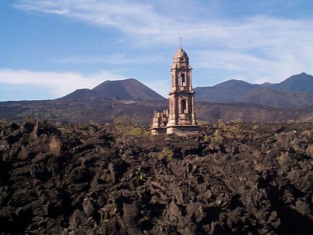
- Paricutín
- San Juan Parangaricutiro: winner of the 2004 United Nations Development Program Equator Prize
- Journey to Patamban, Ocumicho & Fiesta de Cristo Rey
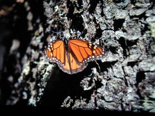
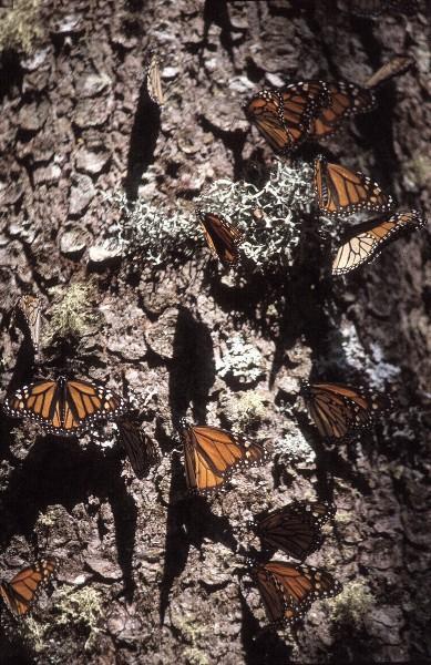
- An Unexpected Encounter with Several Million Butterflies – Self Tour
- Butterflies by the Million : The Monarchs of Michoacán
- The Yearly Sojourn of Heat-seeking Monarch Butterflies
- The Majestic Monarch Butterfly
The Arts
- Alfredo Zalce Michoacán’s Living Legend
- Artesania de Michoacán
- The Family That Carves Together…. Eliseo Castillo & Enedina Castillo Castillo
- Historical Morelia with Images
- Michoacan’s Master Craftspeople and their Arts
Music
Galleries – A visual tour
- Uruapan – The Real Mexico
- Paricutín & Surrounding Area
- Visions of Patzcuaro
- Historical Morelia
- Meseta Tarasca
- Tzurumútaro – a Town at the Crossroads
- Journey to Patamban & Ocumicho
- Santa Clara de Cobre & Erongarícuaro
- Playa Azul
- The colorful carvings of Cuanajo
- Skeletons and art in Capula
- Flavors of Mexico: Indigenous kitchens – The P’urepecha, Michoacán
Links
- Michacán State Tourism
- City of Morelia
- City of Uruapan
- City of Zamora
- Mi Morelia
- State of Michoacán
- Casa de las Artesanias
- Michoacán Crafts and Folk Art (English)
- Exploring Michoacán on Planeta.com
Click here for detailed, interactive PDF map of Michoacán — It’s amazing!
Weather and Climate
The central part of Michoacán is temperate; the mountain ranges are cooler; the lower areas are warmer. The monthly average temperatures range from 13° C to 29° C, with the coldest period during January and the warmest during the month of May. The rainy season is from May to September.
Credits
MexConnect’s rich collection of Michoacán resources would not have been possible without the invaluable assistance of:
- jennifer rose of Morelia, who coordinated and assembled the materials, and also contributed a number of original articles herself;
- The various Secretarías de Turismo at the state and municipal levels who provided excellent translations of various materials;
- All the authors and photographers who willingly shared their materials.
To all of the contributors – Thank-you.
To all of the readers – Enjoy!